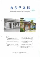
The west side of the Chisso Minamata factory


- The west side of the Chisso Minamata factory seen from the top of Mt. Tatara. Some smoky chimneys are seen.
- The west side of the Chisso Minamata factory seen from the top of Mt. Tatara at present. The Shiranui Sea is in distance.
Reference sources
- The Edo Period:
The Picture Map of Ashikita-gun, Collection of Kumamoto Gakuen University Library, the late Edo Period. - The Meiji Period:
The Japanese National Atlas at the end of Edo Period and in the Meiji Period, Kashiwa Shobo, Collection of Kumamoto Gakuen University Library, 1983.


